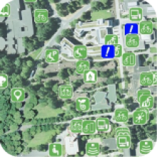
The University of Victoria Community Green Map project (UVic-CGMP) will provide a participatory mapping and planning system, including learning and technical tools, to facilitate innovative and sustainable development at UVic and in the wider community.
The second Map The Campus (MTC) Session will be focusing on making sure the online Campus Green Map has a good representation of great places. We'll be going over the categories and working together on the online map to add points, change points, add information, add photos, add video. We'll likely split into groups and go and collect some more photos and video. Bring you friends, digital cameras, video cameras, GPS units...
Background
The University of Victoria is a vibrant network of students, instructors, researchers and staff that need beautiful and functional work and recreation space in order to be happy, healthy and productive. UVic connects ideas to people, places and projects in the CRD, provincial, national and global community. It is a place with First Nations historical roots and significant cultural diversity in its population. UVic is also a diverse local ecosystem that serves our human community by providing services in the form of clean air, water, shade and food.
The UVic-CGMP intends to harness the energy, ideas and visions of our community members and provide students with real world experience in participatory planning. Moreover this project will provide an interface with local and global partners and innovators from academic and civil societies who have the common purpose of creating a healthy and sustainable world.
